
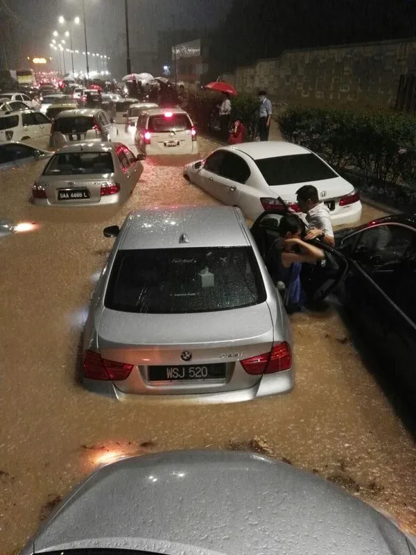
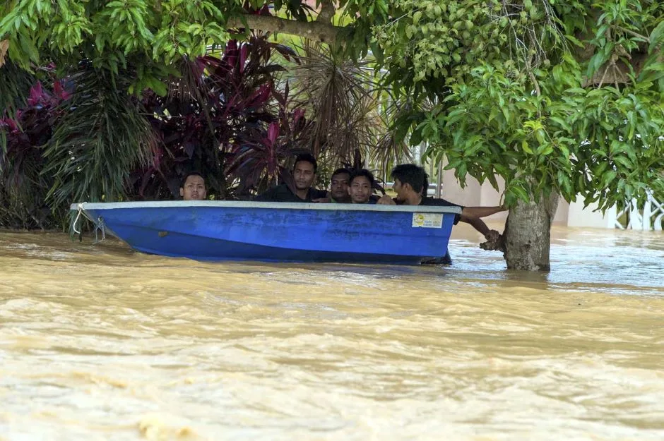
Remember the flash floods that happened last week? Well, that was just the beginning of heavy rainfalls.
Just 2 weeks ago, Malaysians had to endure the sun and heat, which made life unbearable, regardless of whether you were indoors or outdoors. Fast forward 2 weeks later, and here we are, living in fear of flash floods that will potentially damage our car or worse, take away lives.
According to Deputy Director for Operations for the Malaysian Meteorological Department, Alui Bahari, the continuous rain on 12th May was just the beginning of the monsoon transition period, which occurs in between the El Nino phenomenon and La Nina effect.
The effect from the El Nino phenomenon peaked in December 2015 but slowly faded off by late April, and it is expected to be completely gone by June. Rain is expected during the evenings as the monsoon transition period kicks in.
The La Nina effect happens when the sea surface temperature across the equatorial Eastern Central Pacific Ocean drops to around 3-5 °C lower than normal. Because of this, showers are expected to fall until the end of the year.
Thunderstorms with heavy rains are also expected in the west coast of Peninsular Malaysia as weak winds blow from various directions.
Bahari said:
This generally happens from April to May and from October to early November and these are the 2 monsoon transiting periods.
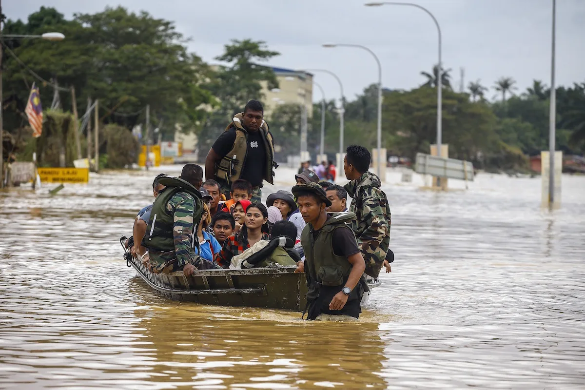
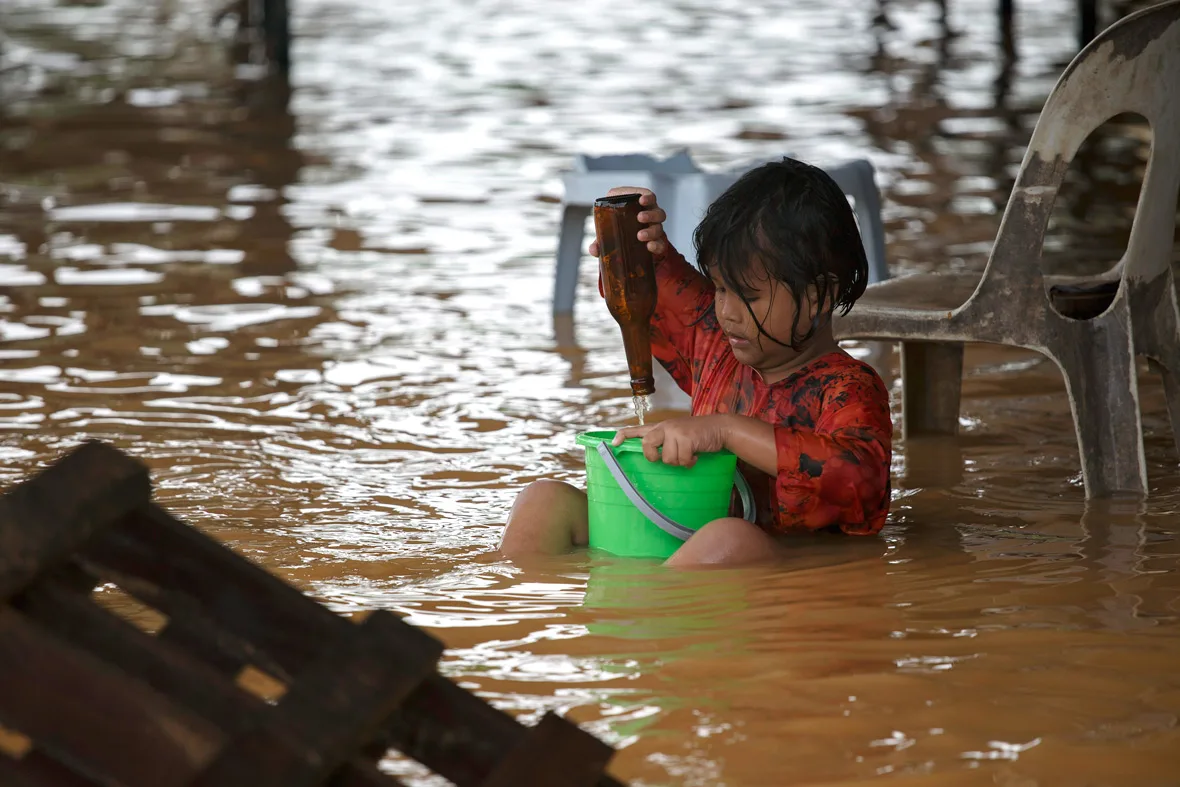
Malaysians are advised to be careful as the winds during these periods are strong enough to uproot trees and homes. Heavy rains could also cause flash floods in low lying areas or places where the drainage is not well-developed.
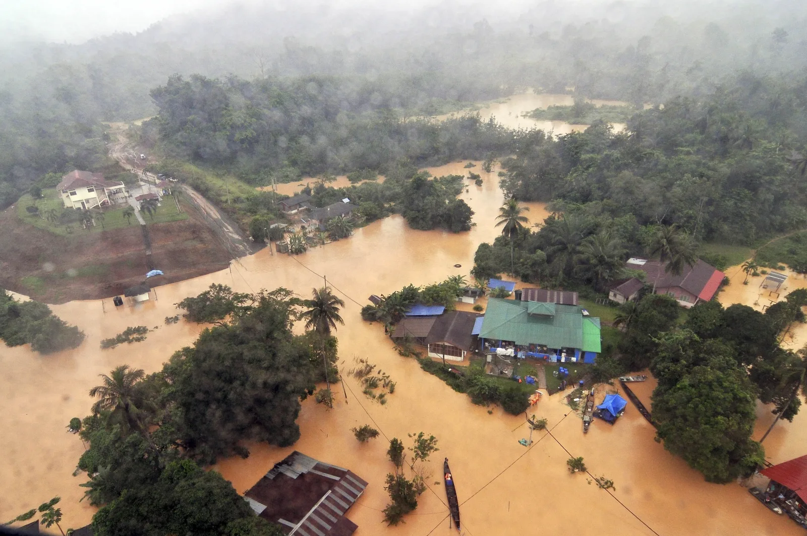
However, the flash floods on 12th May did not occur because of La Nina. More specifically, it happened due to the rapid development and poor drainage system of Kuala Lumpur. “The green lung and open areas that could help absorb rain water had been replaced by roads and buildings. The rain water now all turn into surface run off and they move towards low lying areas hence causing flash floods,” explained climate expert Prof Datuk Dr Azizan Abu Samah. He also agreed with Bahari, stating that the current wet spell occurred because of the monsoon transition period, and not La Nina.
Bahari said that La Nina’s effects could be worse at the end of the year when the monsoon peaks, and his team have been “closely monitoring” the developments and will be on high alert during the months of October, November, and December.
The east coast states, Kelantan, Pahang, and Terengganu will be suffering the effects of La Nina and a severe flood cannot be ruled out. Sabah and Sarawak will also be affected by La Nina. If heavy rainfalls happens in the inside areas of the coast for about 4 to 5 days, like what happened in 2014, river levels could rise up to 10 metres and a massive flood is predicted to happen.
There is hope, though. Samah said:
The floods are dependent on the location and the duration of the rainfall. If the heavy rainfall is along the coastal areas, a devastating deluge like the one that occurred in 2014 may not be possible.
There is also a slim chance that the La Nina will not take effect. In that case, Malaysians need not have much to worry about, as the weather will return to normal with the usual wet spell in the east coast during December where the rains average between 600mm and 700mm, writes Bernama.
While worrying about the rain, don’t forget that the annual haze might still hit Malaysia if the areas of Sumatera and Kalimantan start open burning in July. Winds will carry the dust particles towards Malaysia, but the haze would not be as bad as in 2015 as the heavy rains will aid in clearing the skies.
Source: Bernama via New Straits Times.